Overview
- About
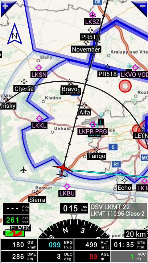
- Navigation software
- Overview
Use this application for VFR FLYING ONLY!!! We are not responsible for any use of this application!!!
- This software provides ILS approach and VOR, NDB, DME, RNAV navigation without ILS/VOR/NDB/RNAV equipment on board. This application is completely autonomous.
- Dynamic terrain map (colors depend of height above ground level)
- Topographical charts
- AIRAC based the world navaid, WPTs, airports and airspaces database
- Airspaces
- Route planning
- Barometric altitude and vertical speed indicators – if your device has barometric sensor
- Sunset / Sunrise calculator
- Easy customize of application
- Export / Import database (or part of database) to gpx, kml or internal format